

Precision
Surveying
CCS Surveys - Delivering accurate land surveying solutions across Queensland since 1984
About CCS Surveys
For nearly four decades, CCS Surveys has been Queensland's trusted partner in precision land surveying. Based in Dalby, we combine traditional surveying expertise with cutting-edge technology to deliver accurate, reliable results.
Our experienced team specializes in construction, mining, land and cadastral surveys, providing comprehensive solutions that support major infrastructure projects across the region.
Our Expertise
Comprehensive surveying services tailored to meet the demanding requirements of modern construction, mining, and development projects.
Construction Surveys
Precise site layout, as-built surveys, and construction monitoring for residential and commercial projects.
Mining Surveys
Specialized mining surveying services including volume calculations, pit surveys, and compliance monitoring.
Land Surveys
Boundary identification, topographic mapping, and detailed site analysis for development projects.
Cadastral Surveys
Legal boundary surveys, subdivision planning, and property boundary disputes resolution.
Ready to Start Your Project?
Get accurate, professional surveying services backed by nearly 40 years of Queensland experience.
Recent Projects
Delivering precision surveying across Queensland's major construction and mining projects.
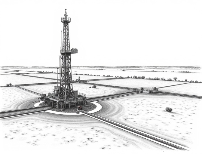
Coal Seam Gas Development Surveys
Precise surveying and spatial data services for coal seam gas field development, pipeline corridors and wellhead infrastructure across Queensland.
Mine Site Surveying
Comprehensive topographic survey and volume calculations for coal mining operation.
Residential Subdivision
Boundary survey and subdivision planning for 200-lot residential development.
Infrastructure Corridor Survey
Detailed topographic survey for new highway construction and utility easements.
UAV, Lidar & Drone Surveys
High-accuracy aerial mapping and 3D point cloud data capture using UAV, LiDAR and drone technology for large-scale surveys.
Agricultural Land Survey
Boundary identification and mapping for large agricultural property acquisition.
Get Your Quote
Ready to start your surveying project? Contact CCS Surveys for professional, accurate results.
Phone
(07) 4662 3252
admin@ccssurveys.com.au
Address
65 Pratten Street, Dalby
Postal
PO Box 862, Dalby QLD 4405